
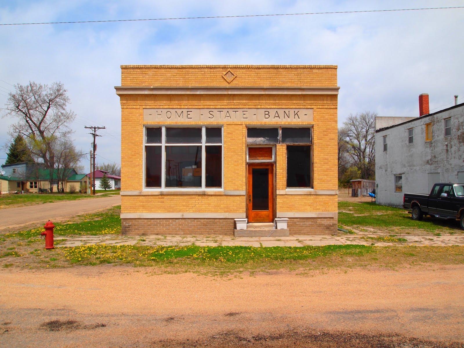
After leaving Broken Bow, we continued along Highway 2 for about 35 miles where we came upon the town of Dunning which was the last substantial place we encountered before turning north onto Highway 83 right before Thetford. In retrospect, I am kind of regreting not seeing the route 2 thing to the end, but next time. As far as I can remember, the below street photos are taken on Jewett Ave. the once and present main street. There are a little over 100 people living there. What do they do and where do they shop why do the buildings look the way they do? An old photo on the Dunning web site indicates that the space between the bank and the red building was once the Wilson Hotel. Accompanying the photo is a pretty good history of the hotel by Larry Wilson, grandson of the man who built it and was involved in the establishment to the bank next door around 1918. Interesting that Larry does not mention what happened to the hotel. Maybe next time I am out that way I can ask.


As I said, Dunning was the last town we stopped at on highway 2 before turning onto highway 83 which cuts right down the middle of the sand hills to route 20 where there were a few towns we wanted to see, particularly Cody, which was kind of the centerpiece of the 1978 National Geographic article about the sand hills. So, onto highway 83 and up to Valentine and Route 20. When you only have 10 or 11 days in Nebraska, which might seem like a lot to some people (its not) and an hour or two in any given place, you hope the sun is shining, in the right place in the sky, that the photography gods are on your side, and that you can do the best with what the circumstances provide.

Pablo

No comments:
Post a Comment